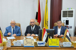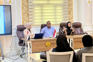
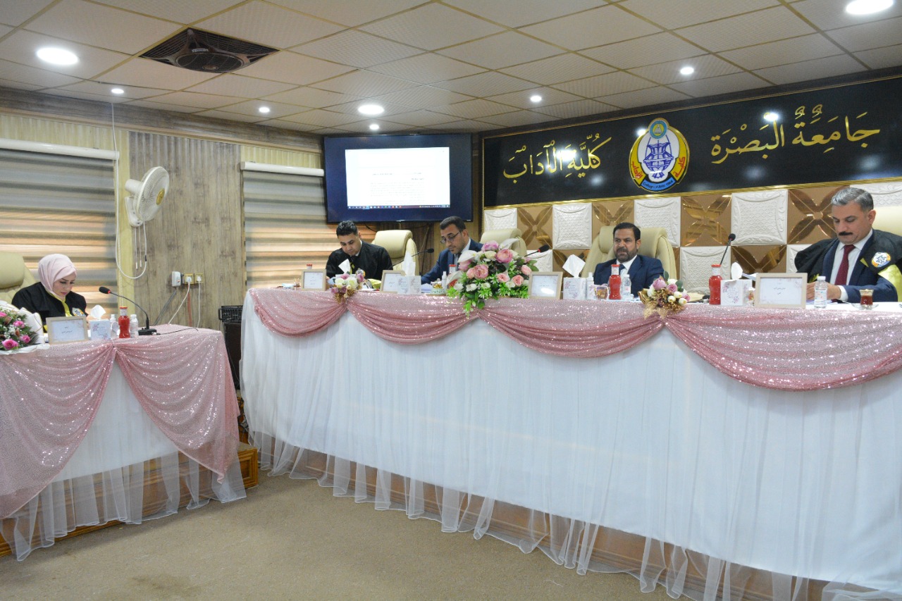
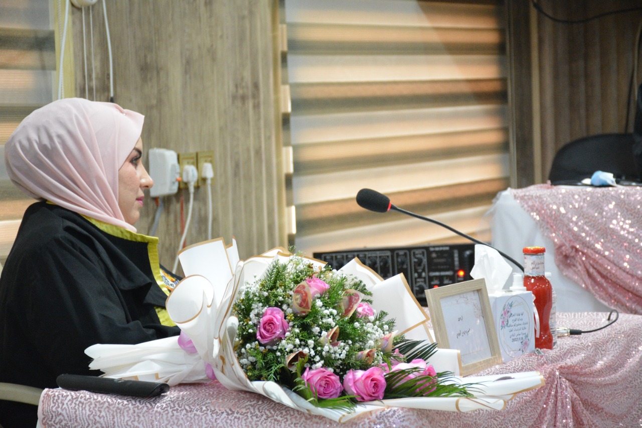
On Sunday morning, 16/1/2022, a master thesis, entitled (Pedromorphometrics in the Sir Khatun Basin in the Northeastern Governorate of Maysan Using Modern Technologies), was discussed at the Department of Geography and Geographical Information Systems.
The thesis presented by the student, Masara Abbas Abdulnabi Al-Biladi, included four chapters. The first chapter discussed the natural factors, the second chapter included the morphometric characteristics of the Sir Khatoun Basin, the third chapter discussed the hydrology of surface water and groundwater, and the fourth chapter dealt with ways of developing and sustaining natural resources in the Sir Khatun Basin.
The thesis aims to:
1. Studying the changes of the basin as a prominent phenomenon, the variation of the natural hydromorphometric characteristics and their presence throughout the basin, as well as studying the most prominent natural and human factors affecting its formation.
2. Monitoring the hydromorphometric changes that occurred in the basin during the follow-up of the satellite visuals and the field study for the period (2019-2020).
The thesis concluded:
1- The study area, with an area of (432.3) km2, is located in the eastern part of the sedimentary plain, which is located within the unstable pavement of the Arab shield, according to the tectonic division of Iraq. Based on the division of the sedimentary plain range and on the structural properties, it is located within the secondary Tigris zone within the unstable mountain feet.
2- The sources of the study area basin are located at the northern parts of the foothills of a mountain range.
3- A group of geological formations and sediments of different ages appear in the study area, these formations extend by chronological age, and formations of the third geological time, the formation of Al-Fatha and Bay Hassan, and deposits dating back to the Quaternary time.

